
Five Questions to Ask Before Commissioning a Drone Survey
Aerial survey quotes vary enormously for work that sounds identical. These five questions expose what you are actually being offered — and protect you from data that cannot support the decision you bought it for.
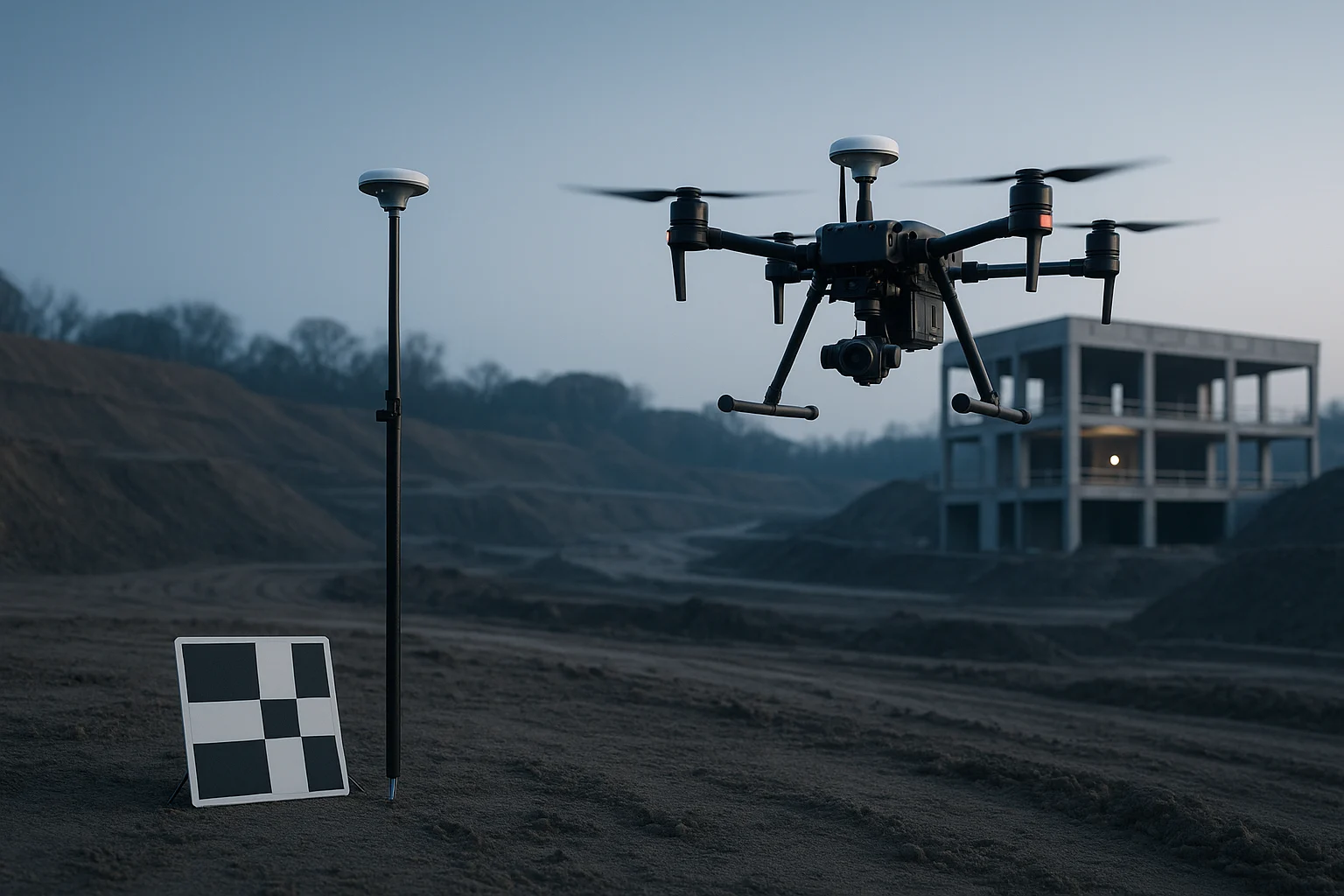
Two quotes for the same site can differ several-fold. Usually they describe genuinely different work. These questions surface the difference before you commit.
1. What accuracy will the deliverable achieve, and how will you demonstrate it?
The important word is demonstrate. Ask for check point residuals — errors measured against surveyed points deliberately withheld from the processing solution.
A provider quoting only GCP residuals is telling you how well the software fitted the constraints it was given, which is a different and much easier question. If the answer is a general claim of "survey grade" with nothing behind it, treat the number as marketing.
2. What ground control will you establish?
Without ground control, absolute position depends on onboard GNSS. On a non-RTK aircraft that can be metres out while looking internally consistent — a model that measures beautifully against itself and sits in the wrong place.
If your deliverable will be compared against design coordinates or an earlier survey, absolute accuracy is the whole point. Ask how many control points, how they are distributed, and how they were surveyed.
3. Is the airspace cleared, and who is responsible?
Airspace restrictions are the most common cause of a survey slipping. Establish who checks, what happens if authorisation is refused, and whether that risk sits with you or the provider.
A provider who has not looked at the airspace before quoting a date has not really quoted a date.
4. What format will I receive, and can my team use it?
A point cloud is not useful to a team working in a package that cannot open it. Specify deliverable formats against the software your people actually run, and confirm coordinate reference system and units explicitly — a survey delivered in the wrong CRS is a survey delivered twice.
5. What happens if conditions are unsuitable?
Wind, light and cloud all affect data quality. Decide in advance who bears the cost of a return visit and what quality threshold triggers a re-fly.
The good answer is a stated quality criterion and a clear position on who carries the risk. The bad answer is silence, which means the decision gets made after the invoice.
The pattern
Each question asks a provider to be specific where imprecision is convenient. The ones who answer readily have done this work before. The ones who deflect are quoting on optimism — and optimism is not something you can build a stockpile reconciliation on.